The BC Wildfire Service has updated its size estimate for the Mount Underwood wildfire. It has grown to 3,406 hectares but the growth is not towards the City of Port Alberni.
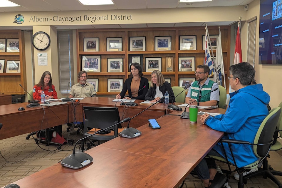
"There is still no imminent danger," Mayor Sharie Minions said at an update with BCWS Thursday morning. "We don't want our residents to panic. As I've said, as areas of concern do come up, we will issue alerts, we will issue notices and orders if necessary."
Officials are also warning residents satellite maps showing heat spots do not necessarily reflect the fire's size or location and hot spots that appear on those maps can be from smoke or the heat from the nearby blaze.
Stefan Hood, BCWS incident commander for the Cameron Complex, which includes Wesley Ridge and Mount Underwood fires, said crews are mapping the perimeter.
"We're only 72 hours into this," he said, adding that BCWS crews are driving all the roads and walking areas to determine the exact perimeter. "We're doing everything we can, down to walking the ground to accurately find the perimeter."
He said some of the satellite maps yesterday were picking up heat signatures from blowing smoke, which did not accurately reflect the perimeter.
More information from the update to come


