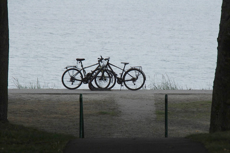
Cyclists tackling routes in the region can help form the CRD Bike Map.
The regional district recently promoted its online survey to gather insight and feedback from residents and visitors on how they navigate the south Island by bike.
READ ALSO: Victoria man creates google map art on his bicycle
Some questions specifically reference the CRD Bike Map that shows 58 routes and paths through 13 municipalities, the Juan de Fuca Electoral Area and 10 First Nations.
The digital map allows for zooming in to see connecting roads and trails. Legends explain bikeway signs and symbols and shows route surfaces.
Because the survey is intended to be anonymous, the CRD asks users to not include identifying information.
Find the short CRD bike map and survey online at bitly.ws/Wu7G. Hard copies of the maps are available in most Greater Victoria bike shops.


