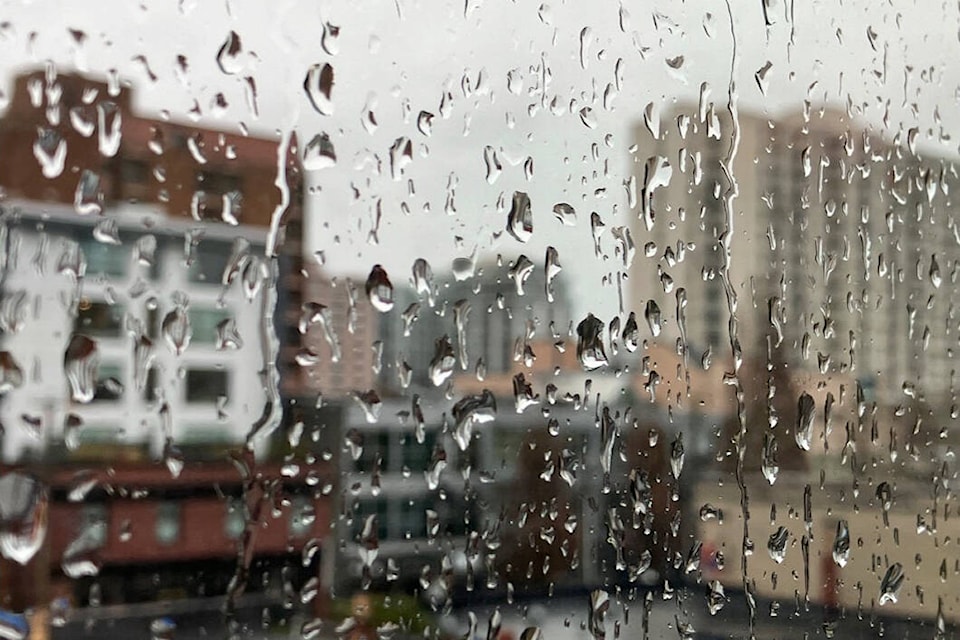
Heavy rain and the potential of snow are in the forecast for much of Vancouver Island.
Greater Victoria, Southern Gulf Islands and east Vancouver Island to Fanny Bay could see 30 to 70 mm of rain Tuesday with occasional wet snow and gusty winds at higher elevations, according to Environment Canada.
The weather agency issued the rainfall warning early Oct. 24 as a low-pressure system moved towards the south coast.
“As precipitation rate intensifies and the airmass cools, it is possible to see rain become mixed with wet snow over higher terrain,” reads the alert.
Environment Canada warned of uncertainty with the exact precipitation amount and warned travellers to keep a close eye on the forecast.
Rain is expected to intensify during the afternoon and evening commute. Cooler air and heavy rain could result in snow levels falling to near 250 metres with wet snow mixed with the heavy rain falling. While forecasters don’t expect accumulation at sea level, snow could briefly accumulate at the Malahat summit.
READ ALSO: 25 years since the Blizzard of ’96
The most rain in Greater Victoria is expected on the Saanich Peninsula and West Shore.
Rain is expected to ease overnight, but temperatures drop later in the week and nights in Greater Victoria could dip as low as -1 C over the weekend.
Provincial law requires winter tires on vehicles as of Oct. 1 in many parts of the province, including the Malahat portion of Highway 1 and Highways 4, 14, 19 and 28 on Vancouver Island.
Designated highways require winter tires or chains from Oct. 1 to March 31. The timeline extends to April 30 for select highways, including mountain passes and rural routes in high snowfall areas.
While the south Island will primarily see rain, except in those elevated areas, the first real snowfall warnings of the season also came down for other parts of the province Oct. 23. Environment Canada warned the thickest would be along the highly-travelled Coquihalla Highway and Rogers Pass. Up to 10 centimetres is expected to accumulate along those mountain highways, while fewer than 5 cm forecast along other sections of the Okanagan Connector and Trans-Canada Highway.
READ ALSO: First snowfall of the season to hit parts of B.C.


