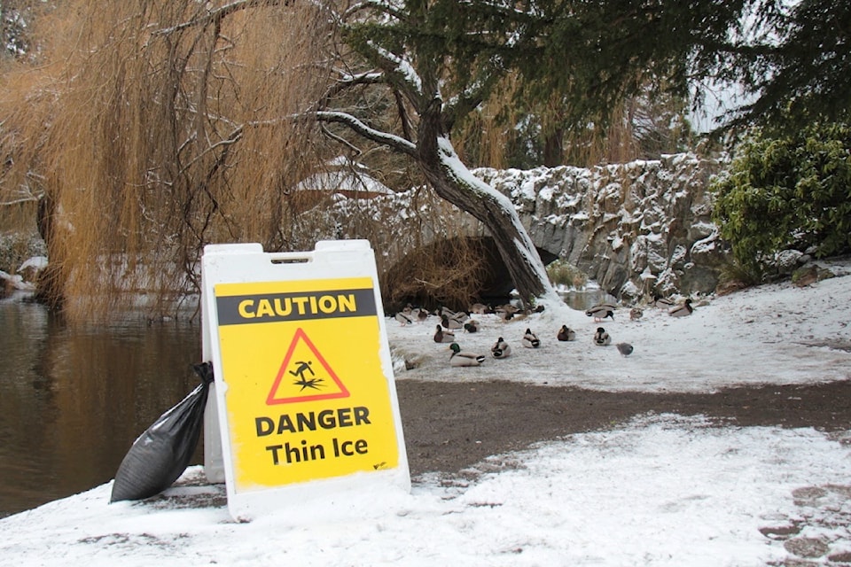
Ice is top of mind in Greater Victoria as flurries are expected to continue and residents awake to lingering remnants of previous snowfall.
Classes are in session in all public schools and campuses open at Camosun College and the University of Victoria.
“Students and employees are encouraged to allow extra time when commuting, dress warmly and stay on cleared paths,” Camosun said in a statement.
A low pressure system west of Vancouver Island started dumping bouts of heavy snow over the south coast early Sunday. While snow tapered off Tuesday (Feb. 4), the Malahat had amassed 35 cm while Victoria International Airport saw 10 cm, according to Environment and Climate Change Canada data.
The data compiled from Feb. 2 to the morning of Feb. 4, shows the airport in North Saanich amassed the least amount of snow across Vancouver Island.
About 35 cm fell at Nanaimo Airport, Shawnigan Lake 29 cm, north Courtenay 24 cm, Campbell River Airport 20 cm, North Cowichan 18 cm, Tofino 16 cm, and Qualicum Beach and Comox saw 14 cm.
Flurries remain in the forecast, with a high of 0 C Wednesday and a wind chill of -9 C expected overnight Wednesday for Greater Victoria. A chance of flurries continues Thursday with a high of 2 C and a low of -4. Things are expected to clear Friday with sunny skies, a high of 3 C and a low of -4 before flurries return on the weekend.
Victoria opened its warming centre in Cook Street Village at the start of the snow squalls and it remained open as of Tuesday night.
City warming centres open when all other shelters are full, exposure risks are active and there are people in need with nowhere else to seek shelter.


