Greater Victoria is experiencing its warmest late winter since 1995, breaking daily temperature records for the second consecutive day.
On Tuesday (Jan. 31), Esquimalt, Gonzales, Victoria harbour, the University of Victoria, Hartland, and the airport all reached 15.4 C, surpassing the previous record of 14.1 C.
Victoria International Airport just eked ahead of the old record of 14 C with 14.1.
All the previous records were set in 1995.
The warmth wasn’t unexpected, as Environment Canada alerted residents earlier in the week to a mild airmass bringing above-seasonal temperatures for much of B.C. While the Capital Region enjoys the warm without the harm, much of coastal B.C. faces flooding, pooling water and possible landslides

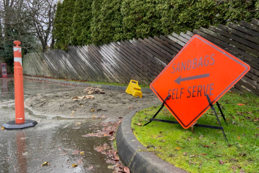
A series of storms bringing warm temperatures, elevated freezing levels and periods of heavy rain will increase the potential for flooding, pooling water and possible landslides.
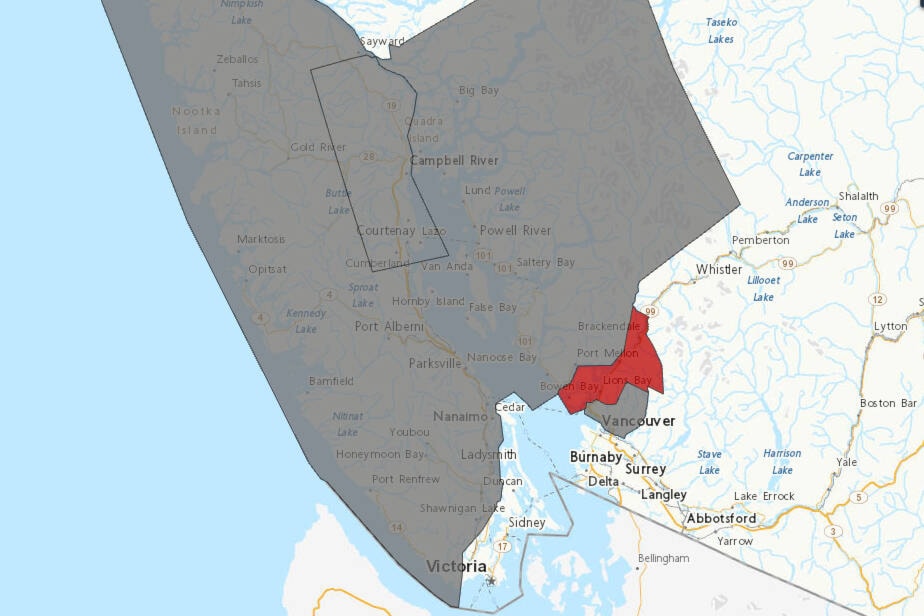
Special weather statements were issued for east Vancouver Island, the Lower Mainland and the Sunshine Coast.
Environment Canada warns that heavy rainfall combined with mountain snow melt will lead to high rivers, potential flooding, and landslides. Amid the wet, there’s also possible for falling tree branches and power outages as strong winds batter trees in saturated soil.
For updates on flooding advisories visit the River Forecast Centre at http://bcrfc.env.gov.bc.ca/warnings/index.htm.
READ ALSO: Warm weather forces Mt. Washington to suspend operations for the day Jan. 31


