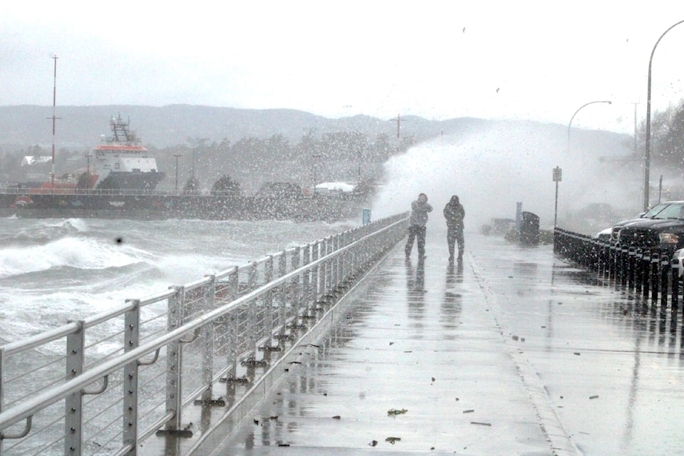
Vancouver Island can expect to see this fall's first deluge from an atmospheric river Friday (Oct. 18) morning.
While other parts of coastal B.C. have already been subject to heavy fall rains, particularly in late September, modelling shows the first push or strip headed for the south coast, said Ken Dosanjh, meteorologist with Environment and Climate Change Canada
An intense low-pressure area near the Gulf of Alaska is expected to push a narrow plume of moisture to the south coast.
Originating near Hawaii, Pineapple Express is an appropriate term for the rains coming this weekend. Likely landing first on the steps of the north Island and central coast early Friday, intensifying for the entire region Saturday, and tapering later Sunday.
“We typically get 30 to 40 atmospheric rivers in a season, they are common,” Dosanjh emphasized. What’s important to note is the strength, duration and how they flow together to impact residents.
While this event does not appear to have another on its heels, it does have the potential to trigger warnings or alerts in the intervening days.
There is a cooling trend with potential for showers in the middle of the following week, time enough to allow things to stabilize.
Beyond October, there are indications that B.C. as a whole will see temperatures above normal heading into winter.
“That doesn’t necessarily mean the Island won’t experience cold spells,” Dosanjh noted.
How much above normal isn’t predictable.
“There’s no strong signal on what November could bring. Our climate models are unable to make reliable predictions,” Dosanjh said. “This is our second most difficult season to accurately provide forecasts for, because this is what we call shoulder season.”
Fall is a challenging one statistically to predict what might happen, but there are signs for a weak La Nina which would typically bring cooler, wetter weather.
In the short term, residents should be aware the rainfall expected Friday through Sunday could come with some intermittent breezy conditions that contribute to downed trees and branches taking out utilities. Residents are also encouraged to keep an eye on the provincial river forecast centre’s flood warning and advisory map online at bcrfc.env.gov.bc.ca/warnings/index.htm.


