Protecting sensitive shorelines in Saanich is now on the radar of decision makers in the district.
A request for $80,000 in funding to support marine shoreline mapping has been unanimously approved by Saanich council and forwarded to budget discussions. Mapping methodologies are designed to help protect ecologically sensitive ecosystems.
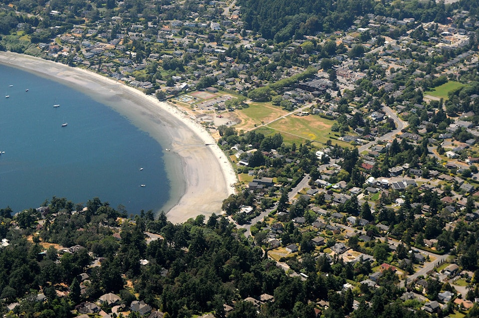
Information collected in mapping work will help the district plan environmental protection of coastal shorelines, Mayor Fred Haynes said.
A report from Coun. Rebecca Mersereau and staff presented at the Jan. 10 council meeting said the funding would be a valuable supplement to recommendations around rehabilitation.
The Harbours Ecological Inventory Rating is a locally developed mapping system that gained notoriety in 1997 and has been applied to coastal shoreline projects in Victoria and Esquimalt harbours by the Capital Regional District. The report recommended that Saanich use this methodology moving forward.
RELATED STORY: Saanich’s Arbutus Cove area remains closed post-landslide, crews continue to assess safety
“The gaps in the CRD project include some of our most vulnerable coastal areas between Cordova Bay and Cadboro Bay,” Mersereau said during discussions.
Restoration efforts would include protecting and restoring natural shoreline processes and addressing impacts of erosion and sea-level rise. Enhancing coastal backshore habitats, trees and native plantings used by coastal wildlife would also support rehabilitation objectives, Mersereau said.
Doing additional studies and data collection can provide more information with which to address climate change impacts, she added.


