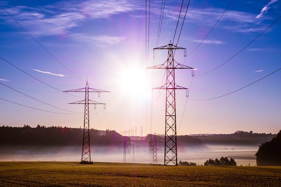
BC Hydro’s power systems were operating at a break-neck pace earlier this week as a new record for peak summer usage was set.
At the height of demand on Monday evening, usage reached 7,851 megawatts with 1,142 of that coming from Vancouver Island, according to BC Hydro spokesperson Ted Olynyk.
The increase smashes the old summer record, set on Aug. 11, 2014, by almost 400 megawatts.
“Certainly we’re rivalling any record for peak consumption in the summer,” Olynyk said.
Hydro data shows demand for power increased 12 per cent at that time. That’s equivalent to running seven Ruskin Generating Stations at full capacity, said the power company.
It’s the second time this year that a hydro consumption record has been broken as the overall record was set again this winter — on Jan. 3 — with a peak hourly demand of 10,126 megawatts.
“Certainly when we see long periods of either above normal or below normal temperatures we’ll see an increase of usage,” Olynyk said.
Cool tips to help you save in the heat. Whether you like AC or fans, buy @ENERGYSTAR_CAN for increased efficiency: https://t.co/PrRuzyqNRg pic.twitter.com/nU6cGoGWgh
— BC Hydro (@bchydro) August 29, 2017
Environment Canada meteorologist Matt Loney said moving forward it’s going to be hard to find times when the trend isn’t leaning toward the warmer side of things.
“It’s fairly rare to get a below normal seasonal forecast,” he said. “Certainly you’ll see runs of weather that are cooler than normal and we just had a two or three day hot spell, which is not abnormal in the summer, but generally speaking, when you get a seasonal forecast or a long-range forecast, that’s anything more than two or three months in length, typically it’s warmer than normal based on 30-year normals.”
And the weather is going to heat up again just in time for back to school.
“We’ve got another late summer ridge building into basically the weekend and on into next week and so we’re expecting even higher temperatures, it looks like, for much of the South Coast, for the weekend and the early and middle part of next week,” Loney said.
“It’s going to be a very significant ridge where we’ll see most likely more record-breaking temperatures, dry conditions, not favourable for fire suppression over on the Mainland, tinder dry late summer conditions going to continue beyond Friday,” he said.


