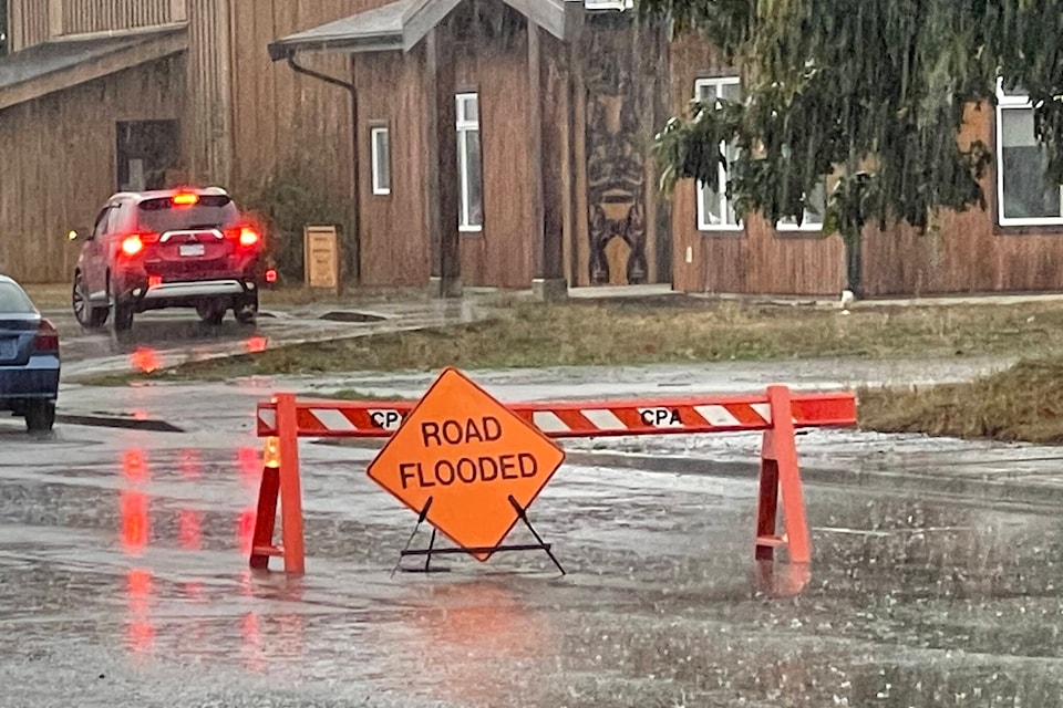
September was a soaker across Vancouver Island compared to the drought levels experienced in the previous few months, although still interspersed with plenty of seasonally sunny days.
“The second half of the month saw some unusually wet conditions that yielded just over four times our usual accumulated rainfall for the month,” noted Chris Carss, a volunteer weather observer/recorder for Environment Canada at his Chemainus home.
The September rainfall total of 168.6 millimetres far surpassed the normal of 40.8 mm.
It was the same story on Thetis Island where Keith Rush noted a new September record was established with 131.4 mm, shattering the previous high recorded at his Foster Point Road residence from 2018 of 99.6 mm.
“September came in two distinct phases this year, as it often does with the month being the main transition between summer and fall,” explained Carss. “The summer segment occupied most of the first 13 days, but it wasn’t always great summer weather. There were a few days that were sunny, warm and dry, but almost as many were cloudy or partly cloudy with the occasional shower.
“For those who enjoy our warmest season, the daily afternoon temperatures at least held in the low to mid-20s most of the time during the first half of the month. The summer weather ended on the 14th, eight days before the end of the astronomical summer on the equinox date of the 22nd. Afternoon temperatures were mostly in the teens.”
With seasonal slide in temperatures proceeding in a fairly normal fashion, the overall daily temperatures remained within a half degree of normal for the month as a whole, Carss added.
The mean maximum of 19.4 degrees Celsius was not quite a degree below the normal of 20.1 C. And the mean minimum of 11.8 C was just slightly above the normal of 11.4 C.
The extreme maximum was 25.5 C on Sept. 9 and the extreme minimum 8.5 C on Sept. 16.
“The other weather element that strayed significantly from the September normal was the number of sunny dry days, which at 13, was five days shy of normal,” Carss pointed out. “However, when additional partly sunny days are added that included a few light showers, the overall number of days with some sunshine spiked to 20.”
September has become a consistently cooler and more autumnal month in recent years with the meteorological summers starting earlier, Carss indicated.
“This trend just happens to lend some additional legitimacy to the World Meteorological Organization’s definition of summer as being from the beginning of June until the end of August. The WMO definition therefore has summer beginning just a few days after the Victoria Day weekend and ending just before the Labour Day weekend and the return to school for most students.”
Despite the heavy September rainfall, Rush’s precipitation total for the year to date on Thetis Island of 573.9 mm is still running way below last year’s total at this time of 773.3 mm.
October has started with normal temperatures, with variable cloud cover and rain expected to return this week.
“The rainfall frequencies and amounts are expected to remain near normal until late in the month when heavier rains could move in marking the run-up to the core wet season,” Carss noted.
For more news from Vancouver Island and beyond delivered daily into your inbox, please click here.
RELATED: August brings some heat relief, but only minimal rainfall
RELATED: Vancouver Island feeling a powerful fall storm to end September
RELATED: Heavy rainfall in Port Alberni came close to setting records


