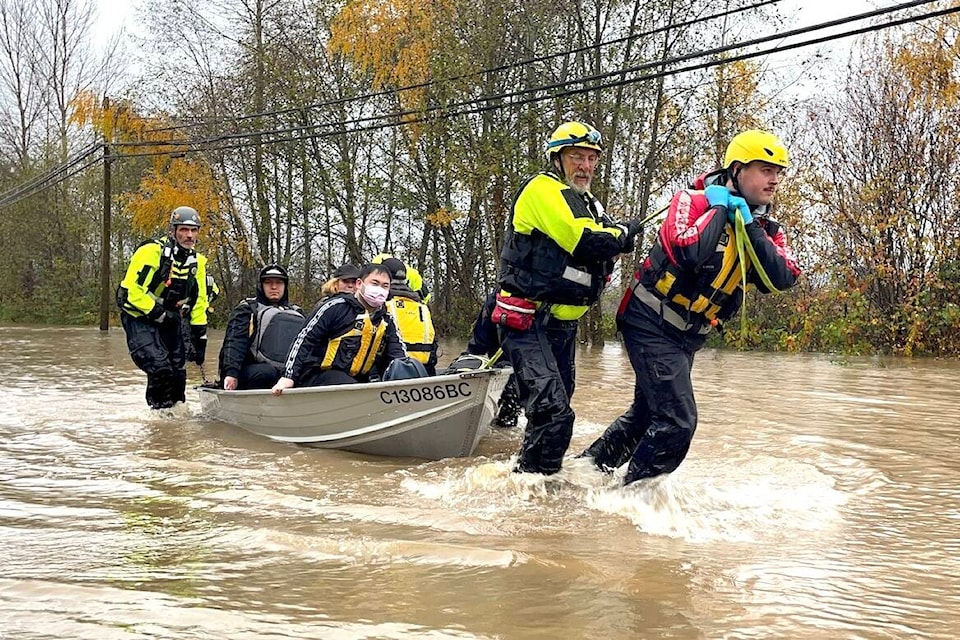
The mad extremes of 2021 weather shouldn’t be something Vancouver Islanders just get used to.
Environment and Climate Change Canada warning preparedness meteorologist Armel Castellan doesn’t care for the term “new normal” because he thinks “it’s a little bit dangerous to think that this is what it’s going to be like henceforth.
“It’s a moving target,” he said. “We didn’t see a very strong wildfire season in 2019 after two record-breaking ones in ‘17 and ‘18 but just south of the border in 2020 it was fairly ridiculous. And then this past summer was also third place for hectares burned in the province.
“We are starting to see a huge uptick but we might also be talking about these last five years as a walk in the park compared to what we’re facing a couple decades from now when this is routine,” he warned. “It’s hard to say ‘new normal’ because it’s not a step function. It’s really a moving target and one that’s increasing in amplitude.”
Castellan said climate science suggests that citizens should come to expect events like atmospheric rivers and the heat wave of late June and other types of extremes to be more frequent throughout the season and throughout the year, and to be longer lasting.
“Maybe most impressively, it’s the intensity of each of these events,” he said. “Frequency, longevity and amplitude of the event, or intensity of the event, are part in parcel of what we expect from events in the future.”
A lot of rain in a very short time and a thin, early snowpack being melted by that rain made for the record-setting rainfall recently in many parts of the Island.
September saw 400 per cent more rain than the average, while October was “a lot milder” with only 130 per cent more rain than average.
“It’s just unbelievable there,” all locations on the South Coast are above 100 per cent, save for the north Island, which is still just below 100 per cent.
Castellan noted that both of the Environment Canada precipitation gauges located near North Cowichan municipal hall recorded likely record-setting levels over the course of the weekend of Nov. 13-15 but it’s hard to know for sure because one of the gauges is believed to have malfunctioned for a time.
He did note that it was a daily record for a 24-hour event on the 14th, which is really something given they started keeping records back in 1913.
“It’s absolutely up there,” Castellan said. “As soon as you hit more than 45 mm in that November to March time frame you’re usually in close to record breaking territory. What we saw this last weekend is quite high.”
He said one gauge measured nearly 110 mm on Nov. 15.
“Suffice it to say, it’s been super active this year,” he said. “We’ve had five atmospheric rivers so far, three weather bombs for the big winds that we’ve also seen mid-month last month, and at the very end of October right around Halloween.”
RELATED: ‘Atmospheric river’ brought Nanaimo one of its wettest days on record
RELATED: Atmospheric river behind record rain and flooding in Greater Victoria


