A 105 hectares fire on discovered Monday, Sept. 1 near Coquihalla Highway is out of control, according to the BC Wildfire Service map.
The fire is located 44 kilometres northeast of Hope, at Mine Creek, and is displaying Rank 4 fire behaviour.
"The Kamloops Fire Centre continues to respond to the Mine Creek," said BC Wildfire Service in their Monday night update. "The fire is burning at Rank 4, meaning highly vigorous surface fire with torching, or passive crown fire.
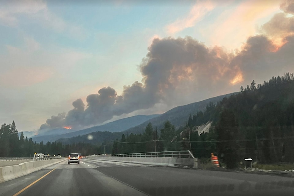
"While this incident is highly visible from the Coquihalla Highway, the fire is currently burning upslope and it is not threatening any structures, roads, or utilities at this time."
It is believed that the fire was caused by a lightning strike. No details are available yet on evacuation alerts or orders.
There are no travel advisories in place for the area.
According to B.C. Wildfire Service, an out-of-control wildfire means it is either spreading or anticipated to spread beyond the current perimeter or control line.
Residents can also receive updates at alertable.ca .
Updates to follow.


